Checks to perform for every municipality
- Check for errors in localité (colors by localité)
- Check for missing names (red edges)
- Check for same names more than twice at a crossing (purple triangles)
- Check for different names on edge (purple lines)
- Check the 4 check layers to get more indications on errors
- Write back and reopen a new package at this moment
- Check if roads are missing (name in caclr but not on edges)
- Check where we got address points but no street lines
- Check on ortho
- visual check
- close workpackage, create a new one and make a quick check
Check layers
- V_BDLTC_STREETS_LOC_NO_RUE: Streets that have a locality but no street name
- V_BDLTC_STREETS_RUE_NO_LOC: Streets that have a street name but no locality
- V_BDLTC_STREETS_RURAL_NAME: Rural streets that have a name
- V_BDLTC_STREETS_URBAN_NO_NAME: Urban streets that have no name
Views that can help
- V_CACLR_STREETS_NOT_REFERENCED: MISSING STREETS
- V_BDLTC_STREETS_NOT_IN_CACLR: Miss-spellings
Sources for a street name
- ADDRESSPOINTS
- NOMS DE RUE PCN
- LIEUX-DITS PCN
- OSM
Treating one municipality
- Set municipality Progress to “En cours”
- Create WP
- Do your edits
- Save
- At the end: Writeback WP
- Set Progress to Corrigé
TRICKS
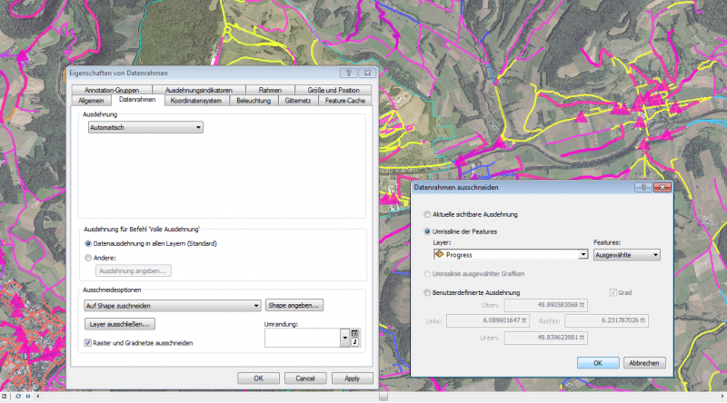
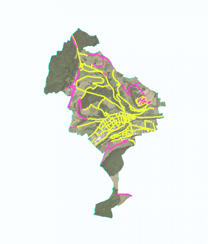
CLIP WORKSPACE TO MUNICIPALITY
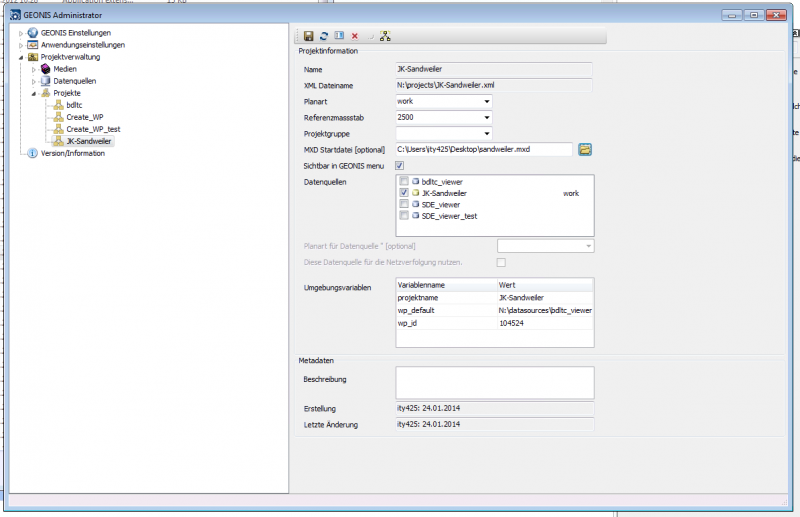
Afterwards you save the MXD and configure the geonis administrator to use that MXD for the given workpacket
c:\program files(x86)\geocom\geonis\bin\basic\geonisadministrator.exe
SUSPICIONS
Once the suspicions have been checked or corrected, they can be deleted!
MISSING ROADS IN PEDESTRIAN ZONES
They can be found in the featureclass ALLEE


