Table of Contents
The menu on your left
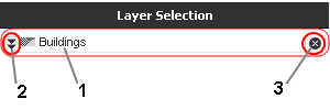
Layer selection
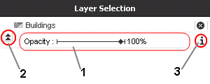
"Layer selection" options
 | 1. Current activated layer 2. Show the layer options 3. Deactivate the layer |
 | 1. Adjusting layer transparency 2. Hide sub-options 3. Display Infobox (Meta / Legend) |
<pagebreak>
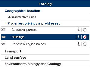
Catalog
The categories currently available:
- Geographical location
- Administrative units
- Properties, buildings and addresses
- Transport
- Buildings
- Transport networks
- Land surface
- Orthophoto-images
- Hydrography
- Environment, Biology and Geology
- Habitats and biotopes
- Geology
- Natural hazard areas


