Table of Contents
The taskbar
Home button
Help button
Contact button
Legal bases button
Language bar
| Symbol/Button | Description |
|---|---|
 | Do your language choice to display the map portal in your preferred language. The current language is displayed in bold. |
<pagebreak>
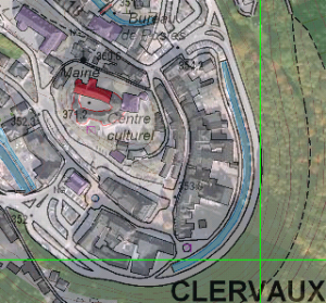
Show full map
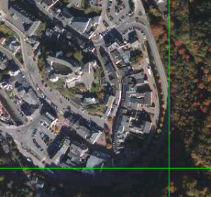
Aerial Images
| Symbol/Button | Description |
|---|---|
 | With this function it is possible to overlie the base layer with the aerial image by setting their degree of transparency through the regulator button. |
<pagebreak>
<pagebreak>
Background/basic plan choice
Previous map view
Next map view
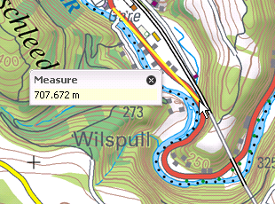
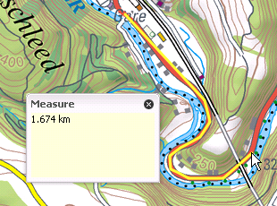
Calculate distance
<pagebreak>
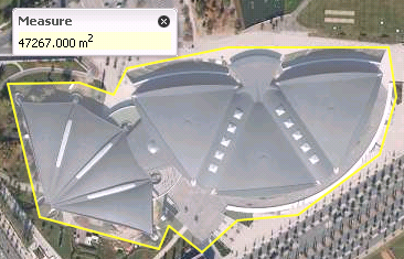
Calculate area
Fast research
| Symbol/Button | Description |
|---|---|
 | The quick search allows you to locate locations on the map specified by encoding all or part of the name of a town or locality. |
<pagebreak>
Create a permalink to the actual map view
<pagebreak>
Print/Save the map to a PDF file
| Symbol/Button | Description |
|---|---|
 | You can simply print or save the map in PDF format by clicking the Print button. |
| Procedure | |
|---|---|
| 1. Click the Print button in the toolbar. | |
| 2. A red rectangle appears, representing the printing area. The dimensions of the rectangle depends first on the scale of the active map, and secondly on the scale selection for printing. After choosing the printing scale, you can redirect the red rectangle on the location of your choice. |  |
| 3. After placing the red rectangle on the desired location, click Print on the Print submenu. | |
| 4. Then the portal tells you that he is creating your PDF. |  |
| 5. When the window has finished producing the PDF, you can open the file with Adobe Reader, who can be downloaded for free at http://www.adobe.com. | 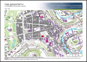 |
<pagebreak>


