| Alternative steps to go |
| Instead of defining the order extent graphically, it is also possible to type the x,y coordinates of the polygon. The coordinates are considered to belong to the actually active coordinate system: |
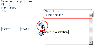
After typing the coordinates of one point in the fields, the point is saved in the drop-down list with the  button button |  |
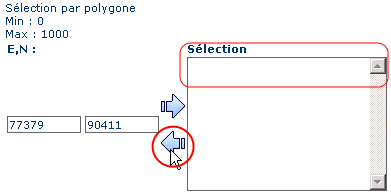
The  button can be used to delete the selected point from the list button can be used to delete the selected point from the list |  |
After defining the last point, the polygon is validated with the  button and is drawn accordingly. This way a visual control of the order extent is possible. button and is drawn accordingly. This way a visual control of the order extent is possible. |