Table of Contents
2. General information
2.1 Scope
This document is targeted at the general public using the geoportal, i.e. all the non identified users who access the geoportal to view maps and product informations. The according functions are explained in the following chapters.
2.2 Conditions for using the geoportal
Please consider the following when using the geoportal:
- In general the latest versions of the following internet navigators and OS are supported :
- MOZILLA (MAC OS, WINDOWS, LINUX)
- FIREFOX (MAC OS, WINDOWS, LINUX)
- EXPLORER (WINDOWS)
- SAFARI (MAC OS)
- Internet access via: http://www.geoportal.lu
- Several functions are reserved to authenticated users : the eShop, the OGC compliant webservices and the providers' functions can only be accessed with a user account and corresponding password
2.3 General architecture of the geoportail
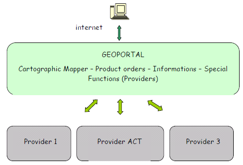
The following picture illustrates the overall architecture of the geoportal, with the general user entering via a standard internet browser.
The system consists of different parts, whereof the Portal is the central element.
For all types of users, the Portal is the access point for the different functions.
They can use the mapping tool to vizualize maps and other geodata or get general information or details about the different products that can be ordered via the system. If they have an own user account they can send orders.
Next to the Portal is the section of the “geodata and product providers” of the geoportal. They handle the incoming orders and provide the data and information in the portal. The Portal has a series of specialized functions for these purposes.
2.4 General view of the geoportal
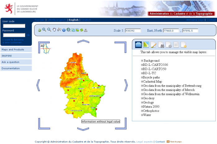
The geoportal home page actually looks like this:
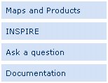
The general public user can always access the information section and use the functions in the sections “Maps and Products” and “Ask a question”.
All the functions of the mapping tool are explained in this manual.
The button “Our Products” opens the catalogue of the products available in the geoportal. This is a catalogue containing all the existing products offered by the different providers. The information sets about the products contained in the catalogue are called “metadata sets”.
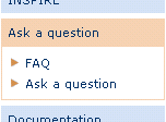
In the section “Ask a question”, the menu “FAQ” ( Frequently Asked Questions) contains a list of questions + answers that may be of interest for many users. Any one can read the questions and answers.
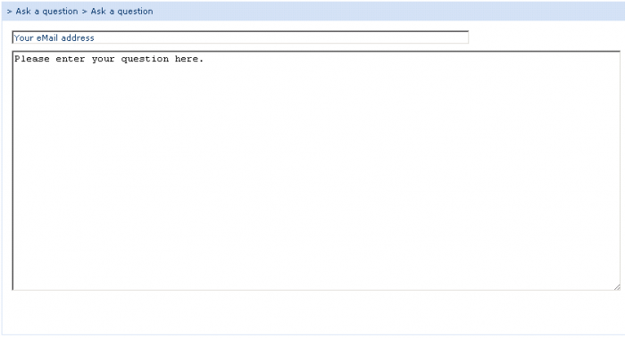
With the button “Ask a question”, the user can formulate questions himself, which will be answered by the geoportal support team.
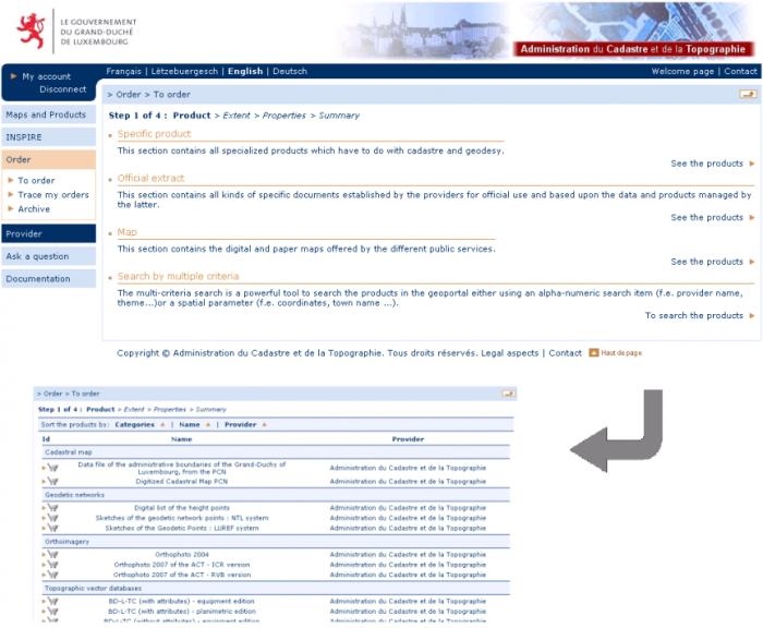
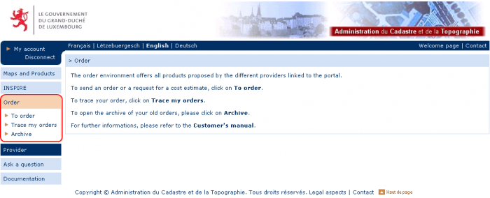
An authenticated user (login, password) can access to other functions that are adapted following his personal rights and permissions in the system.
In every case, he can use functions to
- send orders of the products available to him,
- manage his orders in the menu “manage my orders”, and
- view his orders in the order archive under “archive”.
In this case, he has the status “customer” in the geoportal.
If he has other further going rights in the system, like
- the right to use the OGC web services to integrate geodata in his local GIS system,
- the right to view and use special geodata not available to the general public,
- the right to create and manage his own subordinate accounts,
he becomes “special customer” of the geoportal.
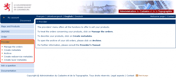
If the user is a geodata and product provider of the geoportal, he has access to the special functions reserved for the providers:
As a geodata and product provider, the user is enabled to :
- Handle the orders: directly in the Portal, he can handle incoming orders by changing the order status, type informations and prices, and upload files to be retrieved by the customers.
- Manage the products: in the Portal the provider creates the products he wants to offer, or whose existence he wants to publish.
- Create metadata: the provider has to create and update the metadata about his products, i.e. the information about the products' whereabouts contained in the product catalogue.
- find old orders in the geoportal “Archive”.
| Note : The contents of this manual can in no case imply obligations of service delivery or guarantee from ACT or other geoportal providers! |
